The latest update to the popular Transit App for Android has brought a much requested and desired feature by users: Transit Maps. Now when you are in a location with a public transportation system, not only do you get the bus, subway and train schedules near you, the display also includes the map of those routes so you can see where they go. Even better, the team at Transit App has made the routes color coded to those of the city you are viewing. So, for example, the A Line in Denver leads from Union Station to Denver International Airport and is designated as a light blue on any Denver RTD map. In Transit App, the line is in the same shade of blue and it shows you exactly how it goes from the city center to the airport.
Perhaps an even more impressive example is the subway system in New York were you will see all of the lines, in their proper color, on the map. Further, if there is a line in the subway system that
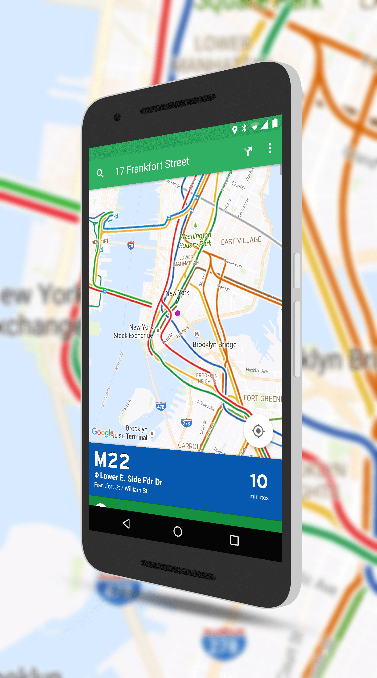
Transit Maps in Transit App for Android
you never use, you can disable it and it will disappear from the map. According to the release notes, most supported cities now have the Transit Maps but whatever gaps you find will likely be added in a future update.
In addition to the new maps, there are two other key new features in the app:
- Toronto Bike Share: you can buy passes + unlock bikes!
- Car2go users: log in/out should solve issues
I personally am a big fan of Transit App. It is one of the best apps for giving you a comprehensive view of all modes of public transportation in a city. Best of all, it’s free.